01
Your archive as a landscape
Explore every route and effort as one connected personal history.
 Effort Atlas
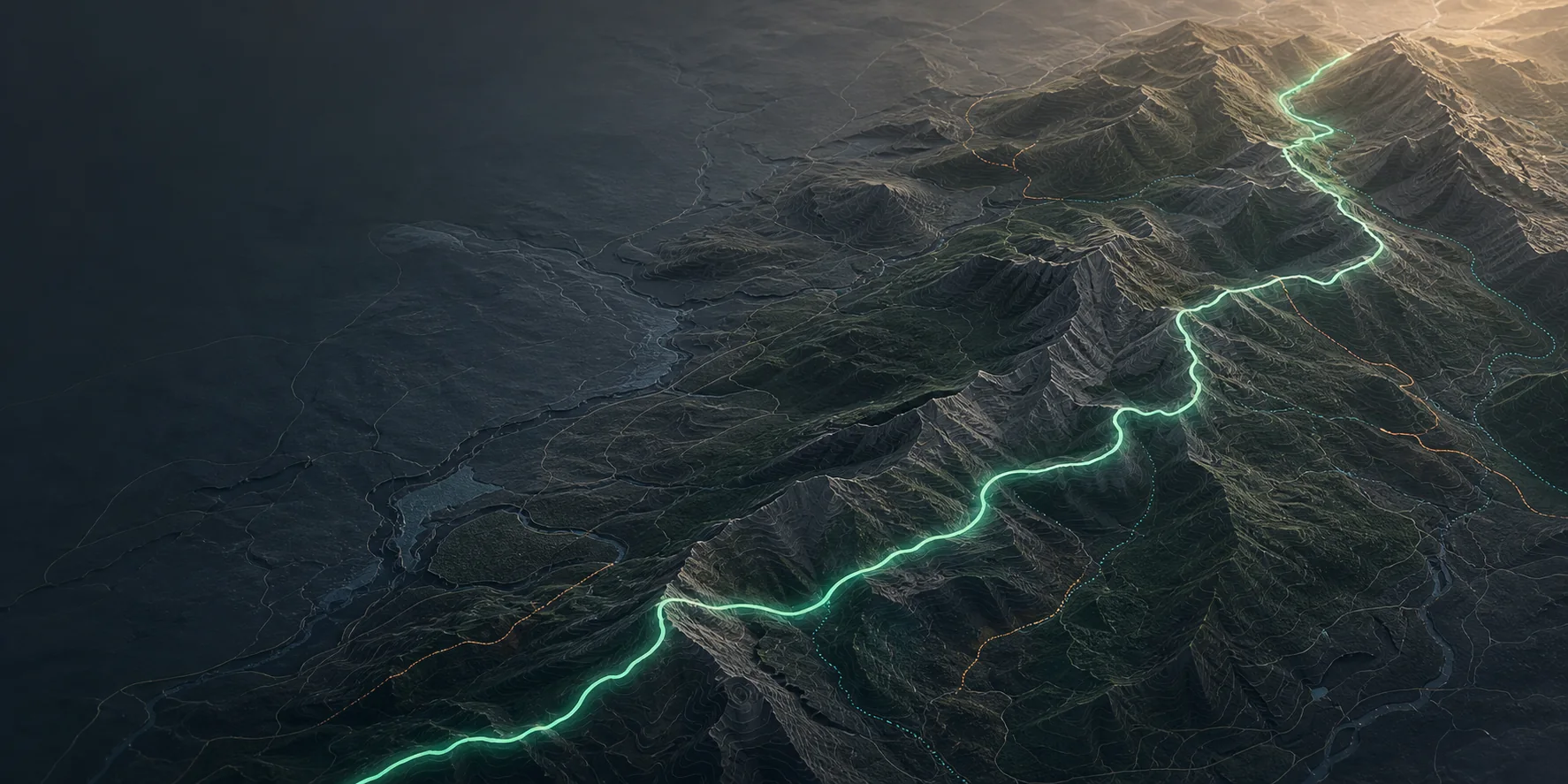
Why Effort Atlas exists
Effort Atlas is built for questions a single activity summary cannot answer: how the same route changed, what happened in one section, and what remains after fatigue builds.
One history · every route in context
Why it exists
A single activity rarely explains much on its own. The useful questions appear across places and time: how the same climb changed, whether output is more economical, and what remains late in a long effort.
Effort Atlas keeps the map, the activity, the recurring route, and the long-term pattern connected so you can move between those questions without rebuilding the context.
01
Explore every route and effort as one connected personal history.
02
Terrain, distance, time, sensors, and fatigue remain attached to every result.
03
Every comparison leads back to the underlying activities and selected sections.
One connected workflow
The atlas leads into a complete activity view; selected ranges stay linked to the route, and trend results lead back to the contributing effort.
Explore the product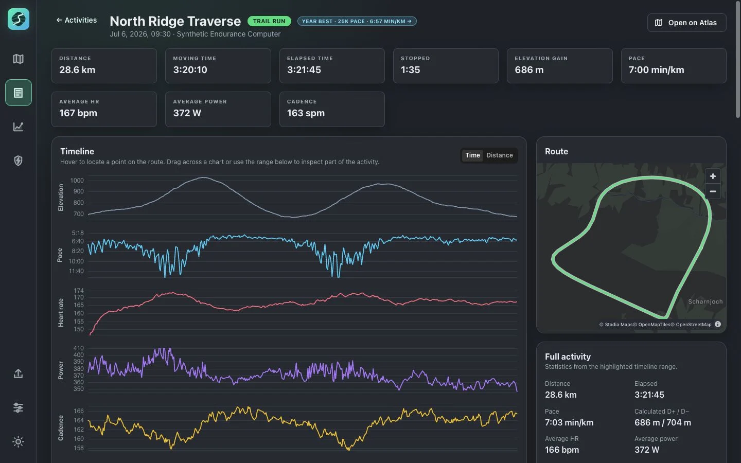
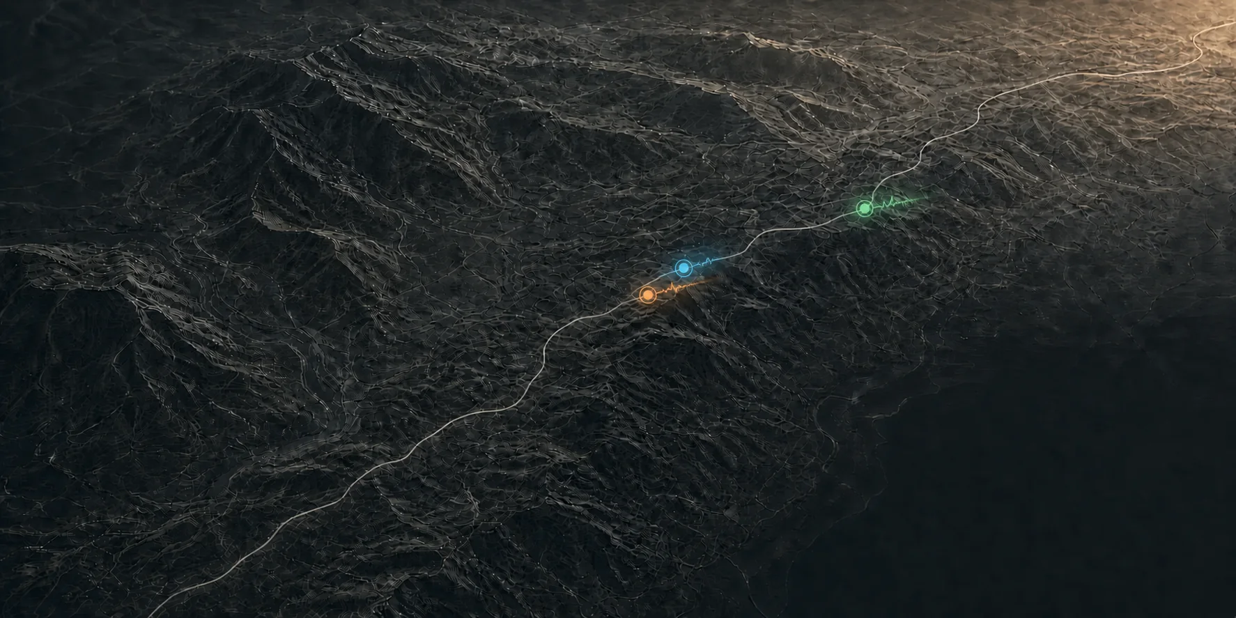
Conceptual route replay
Same route, different effort
Align attempts on the same course, then read progress, terrain, heart rate, and power together instead of switching between separate views.
What makes it different
Current access
Accounts are created manually while the product is still being shaped. Bring your history through Intervals.icu or FIT, GPX, TCX, GZ, and ZIP files.